|
GIANT STRIDES IN PROVENCE:
long walks from Mont Ventoux.
|
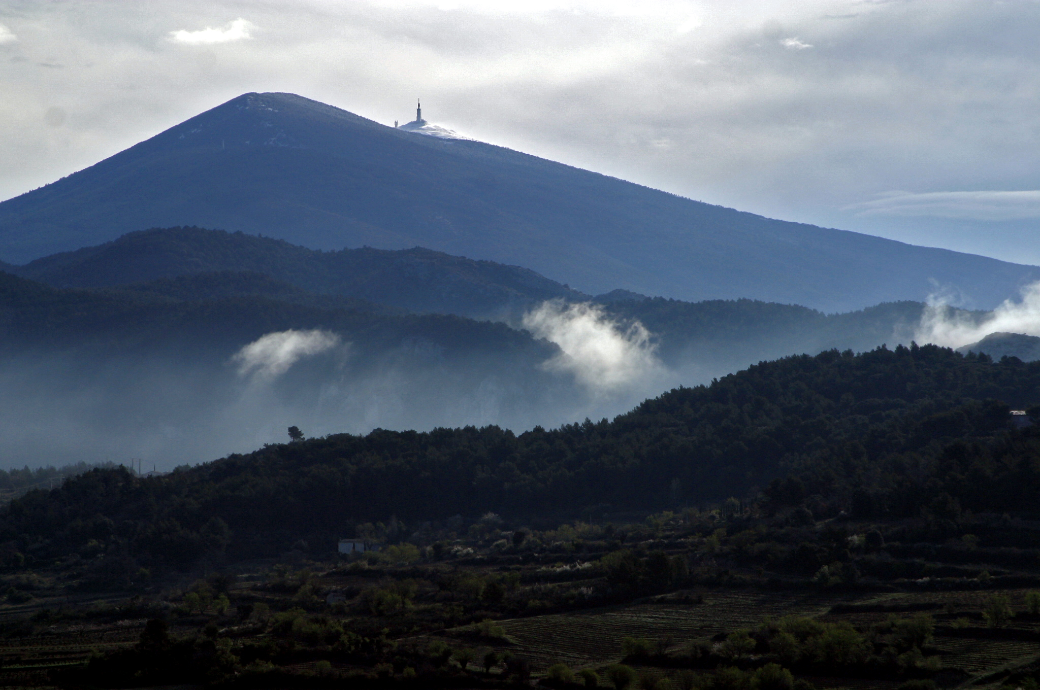
| Mt. Ventoux, from Tony Stone's house. |
INTRODUCTION.
Newcomers to the Ventoux area in Provence, especially those familiar
with the Alps or even the Himalayas, may find the local nickname for Mont Ventoux as “The Giant of Provence”
somewhat exaggerated. For a start, it's less than 2,000m metres high. Where are the glaciers, the spires, the great vertical
rock-faces? But the longer you live nearby, the more you come to respect this great hulk of a hill. It dominates the Rhone
Valley and can be seen from well over 100kms away. It has a strong influence on the local climate: that's why I've chosen
mistral font for the title, named after the violent
north wind here (which the locals call la bise [the kiss] though when it is really blowing, the Mistral is anything
but a caress!). Most of the water we drink flows from its flanks or is stored under its feet. And for those who like walking,
it offers endless possibilities at all times of year - hence "Giant Strides".....
When Mette (my wife) and I built our
house in the area over 30 years ago, the maps of Mt Ventoux were inadequate; and descriptions of walks on it were scanty.
All that has changed. The IGN maps (on a scale to 1 – 25,000) are now fine, and regularly updated. There is a whole
series of guide-books describing walks that can be done in a few hours on and around Mt. Ventoux, as well as the Monts de
Vaucluse and the Luberon massif further south. In addition, there are many excellent books about Mt. Ventoux, its history
and resources, including photographic studies of the area in all its changing seasons. So why this site?
Little seems so far to have been written
about Mt. Ventoux as a springboard for long walks (i.e. over 100 kms long). In August 2007, aged 70, I embarked on my first
long walk of this sort. It was from Bedoin at the foot of Mt. Ventoux on the south-west side, to Peipin to the east of
the Montagne de Lure – almost due east from the Ventoux, and took three days. A year later, in May 2008, I did a
second one: a 5-day walk, from the summit of Mt Ventoux almost due south to the Montagne de Ste Victoire, near Aix-en-Provence. I intend,
age and health permitting, to do similar long walks from Mt Ventoux to the west (across the Rhone Valley to the
Cevennes), and to the north (perhaps to the Vercors). So given the problems I encountered in finding out enough to plan sensibly
my first two long walks from Mt. Ventoux, I decided to share what I’ve learned via the Web. Hence this site (built for
me by grandson Niki).
It
is bi-lingual. Although English is my first language, it would be absurd not also to share what I've learned,
in French, the language of the country I'm writing about. I'll be happy to receive comments or queries in either language.
Just click on the photos for a larger image.
Christopher MacRae.
|
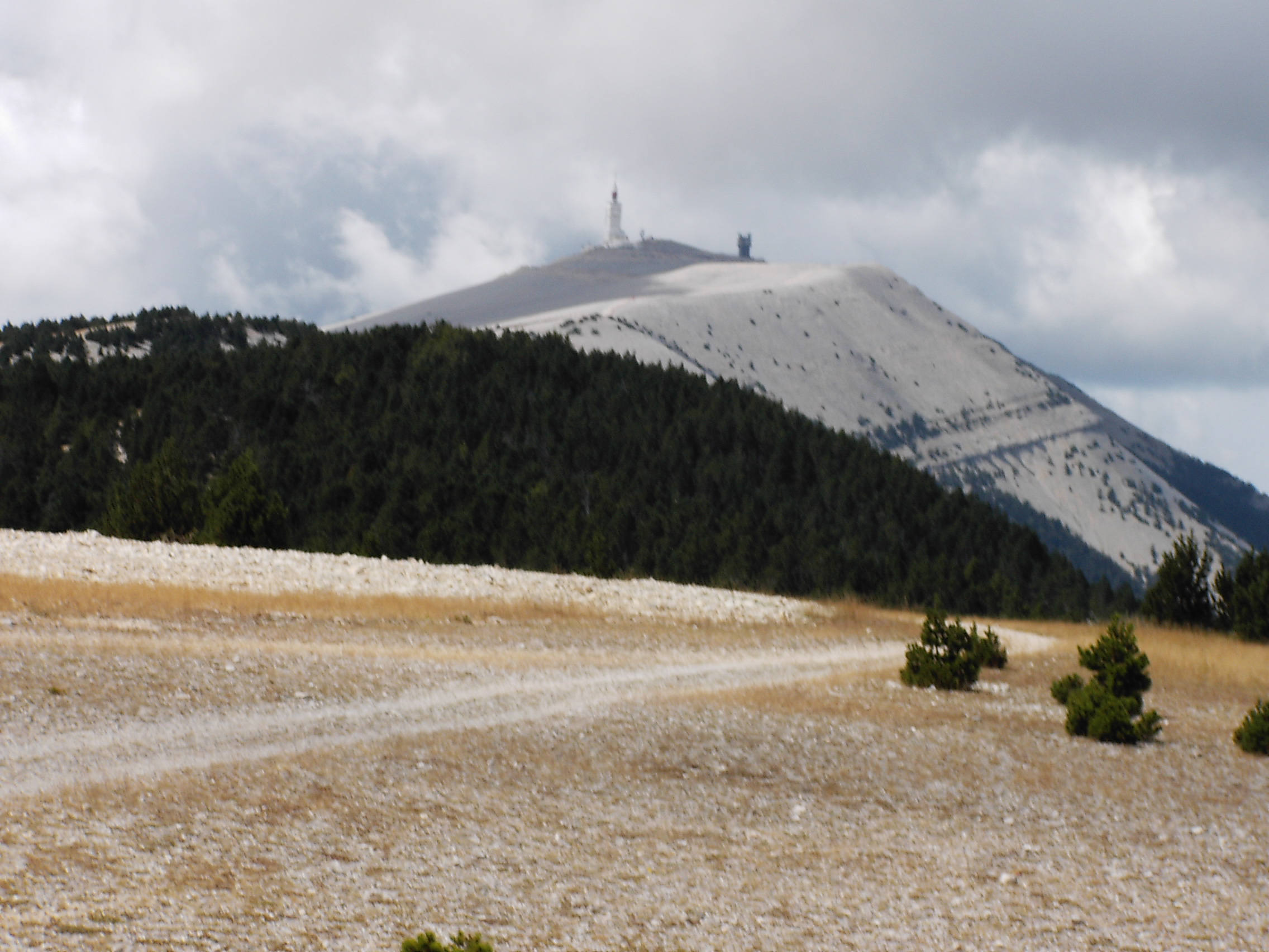
| Mt Ventoux from the east ridge |
|
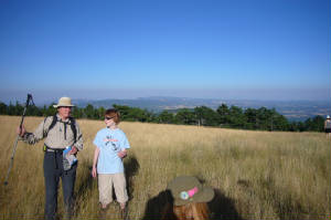
| Mte de Lure from Mt Ventoux, with grandson Niki and me |
|


